You know that feeling when you’re going somewhere you’ve never been, so it seems like it takes longer to get there? Well, the opposite is true as well. The return home from a place always seems to take less time. I’ve returned home to the mountains that I love and time is flying.
But, finishing this blog has now taken longer than my entire thru-hike did. I’m going to make it to the end, but this past spring and summer wasn’t the time to relive old memories. I’ve been spending my time making new memories, in new and old mountains, but I’m going to finish this CDT blog.
I wake up as the sun is just starting to illuminate the sky to the east of Twin Lakes. I fire up my stove to make some hot coffee before the store opens, where I’ll get more coffee and get the resupply box of food my friend mailed to me.
This is my fourth time at the Twin Lakes General store while hiking or biking the Colorado Trail. The first time I was here, I bought a frozen burrito and microwaved it for 5 seconds longer than the instructions on the package said. It exploded in the microwave.
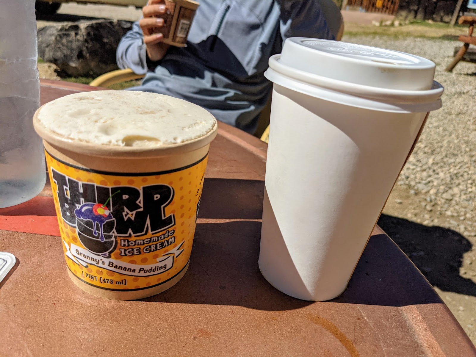
I love this area, I think as I sip coffee and look out over the lake. My tent is covered in frozen dew. I’ll leave it up to dry while I hang out at the General Store. It’ll be dry by the time I’m done eating microwaved frozen burritos and ice cream.
William still hasn’t been inside the General Store, and when it opens, he’s visibly impressed. The first time I was there, I was amazed that this little store would have so much that a Colorado Trail hiker would want. This was the first place I ever saw a hiker box–a “free box” where thru-hikers can leave what they don’t want and take what they need. We each get frozen burritos, coffee, and a pint of ice cream. I pick up the box that my friend sent me and we go outside to relax at the area they have specifically for thru-hikers. Let the loitering commence.
The box my friend sent is full of Trader Joe’s snacks. It’s a whole bunch of food that I haven’t been eating for 2000 miles, and I’m excited about all of it. Between the food my friend sent and the discarded items in the hiker box, I don’t have to buy anything for my resupply from the store here. The Twin Lakes hiker box has never let me down.

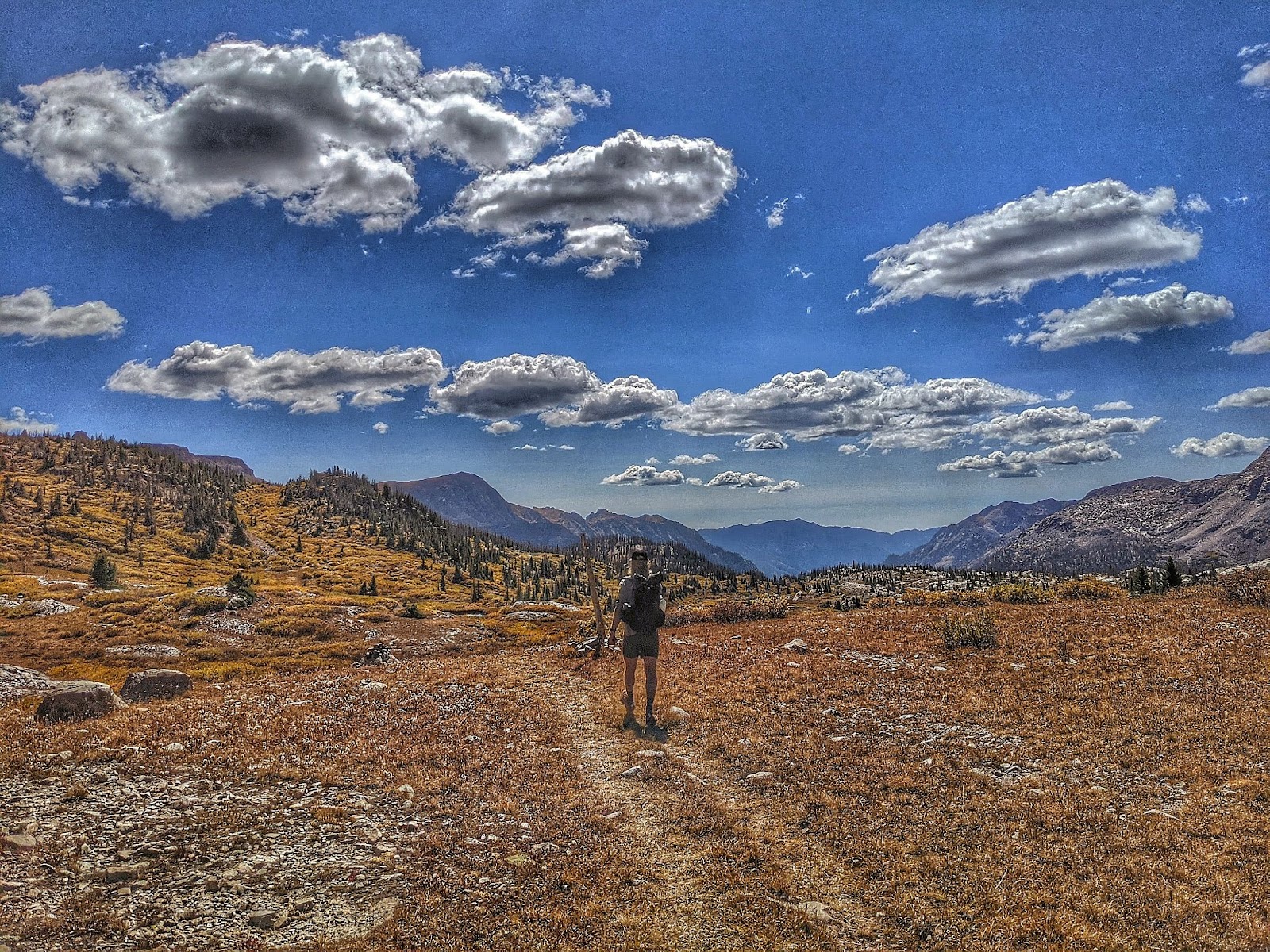
After eating that massive breakfast and letting it digest, William and I hike out around noon. As good CDT hikers, we opt to bushwack around the west side of the lake rather than hike the 8 miles of official trail around the lake to the east. We have to ford a small river, but it’s much quicker than the hot and exposed hike around the entire lake. Plus, everything else for the next week or more will be familiar. This way, I can experience at least one new section.
We make our way back to where the official CDT splits off from the Colorado Trail and start climbing to Hope Pass. I remember last year, this climb was long and hard. Today, I’m operating on the ideal mix of caffeine, burritos, and ice cream. I’m at the top soon.
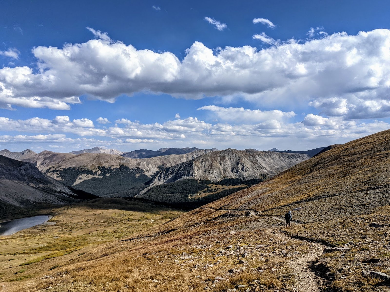
I look over the map ahead while waiting for William. Even though we started late, I think we can make it to Lake Ann tonight. That is an awesome spot to camp and the last water for a while. I tell William of the plan, he seems less enthusiastic, but this is all new to him.
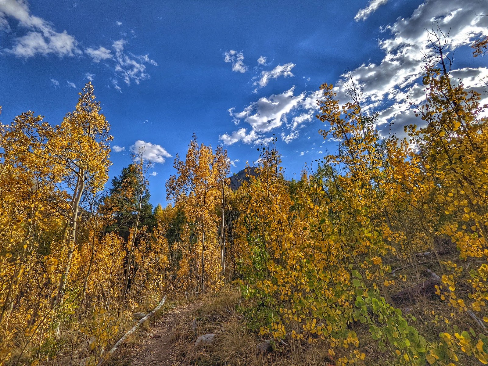
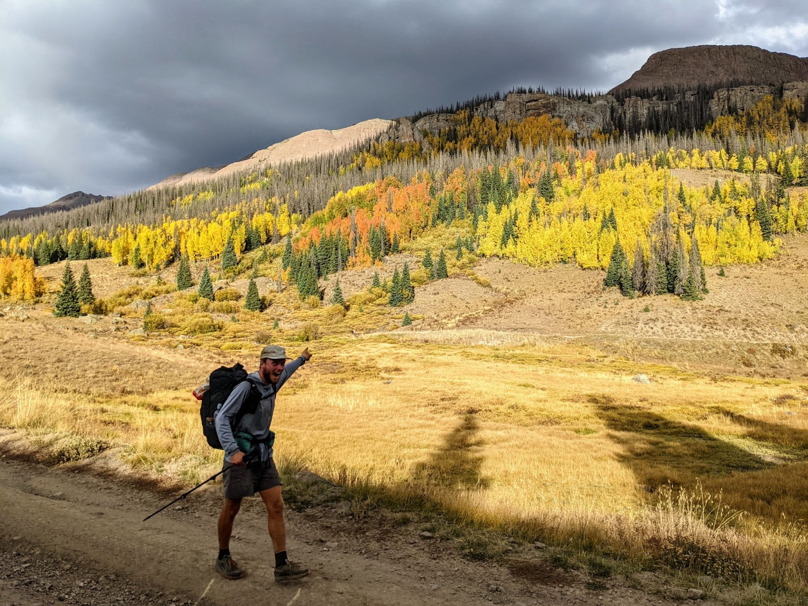
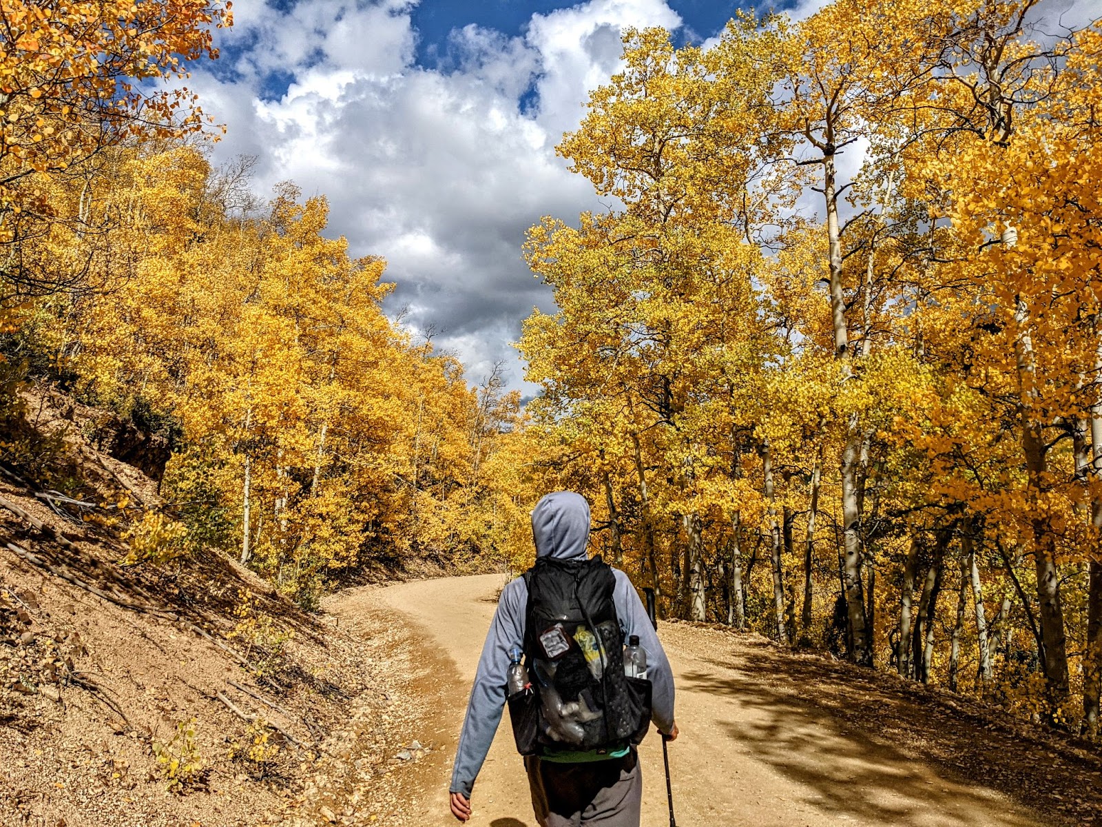
Well, whether or not William is down with the plan, that’s what I’m going to do. We descend through blazingly yellow aspen groves. We get to the bottom, and start to go back up to the next pass, Lake Anne pass. I quickly remember this section is very popular and maybe the reason I camped at Lake Ann, right next to the pass, last time, was because all the other spots leading up to there were taken.
We pass tons of backpackers, who’ve set up camp for the night already. We don’t find a camp spot until we get to Lake Anne, in the last moments of daylight, but we make it to a quarter mile from the lake before needing our headlamps. This is what it’s like thru-hiking southbound–dark. The days will only get shorter from here.
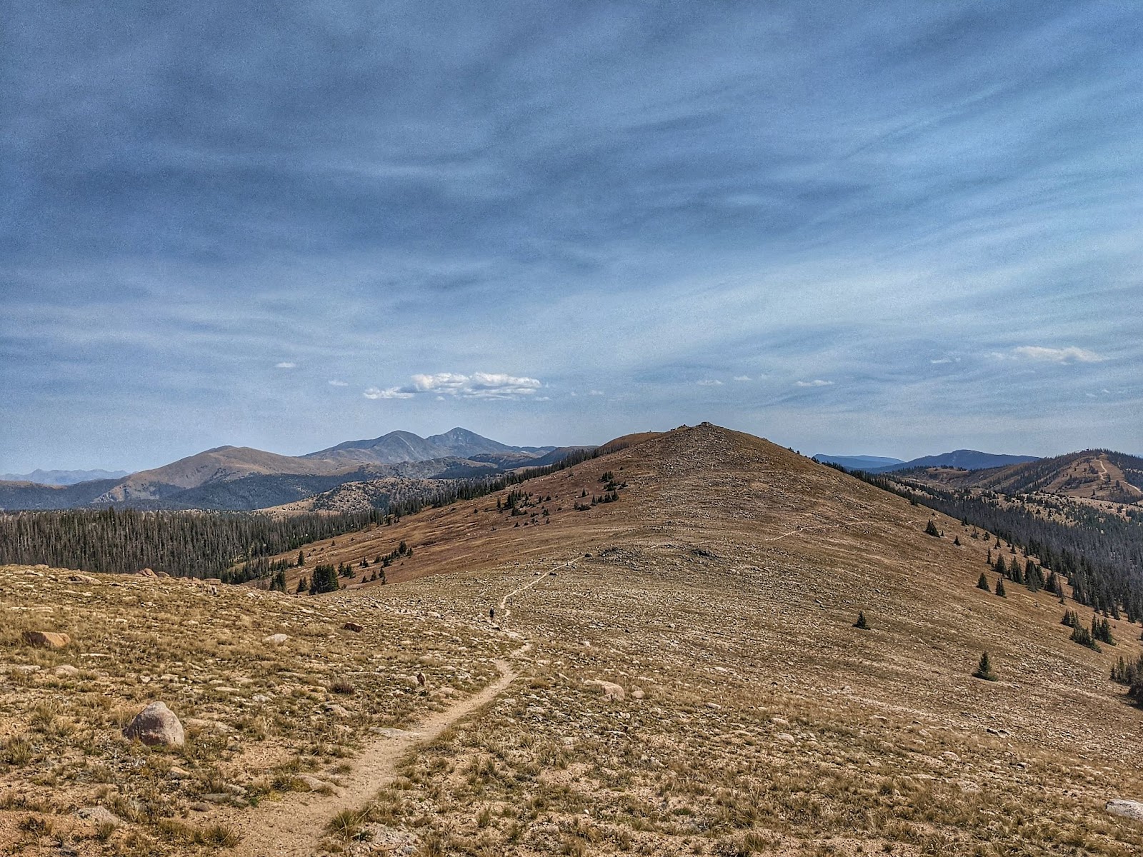
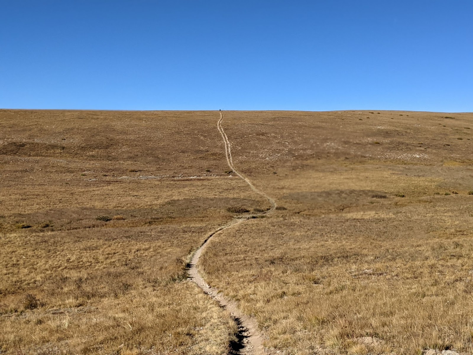
The following two days are spent walking familiar ridgelines to Monarch Pass. The walking isn’t easy, but it’s familiar. I entertain myself by attempting to create the same photos that I’ve taken before in many spots. But, no two spots are ever exactly the same. The sky is always different. The sun is never in the exact same spot.
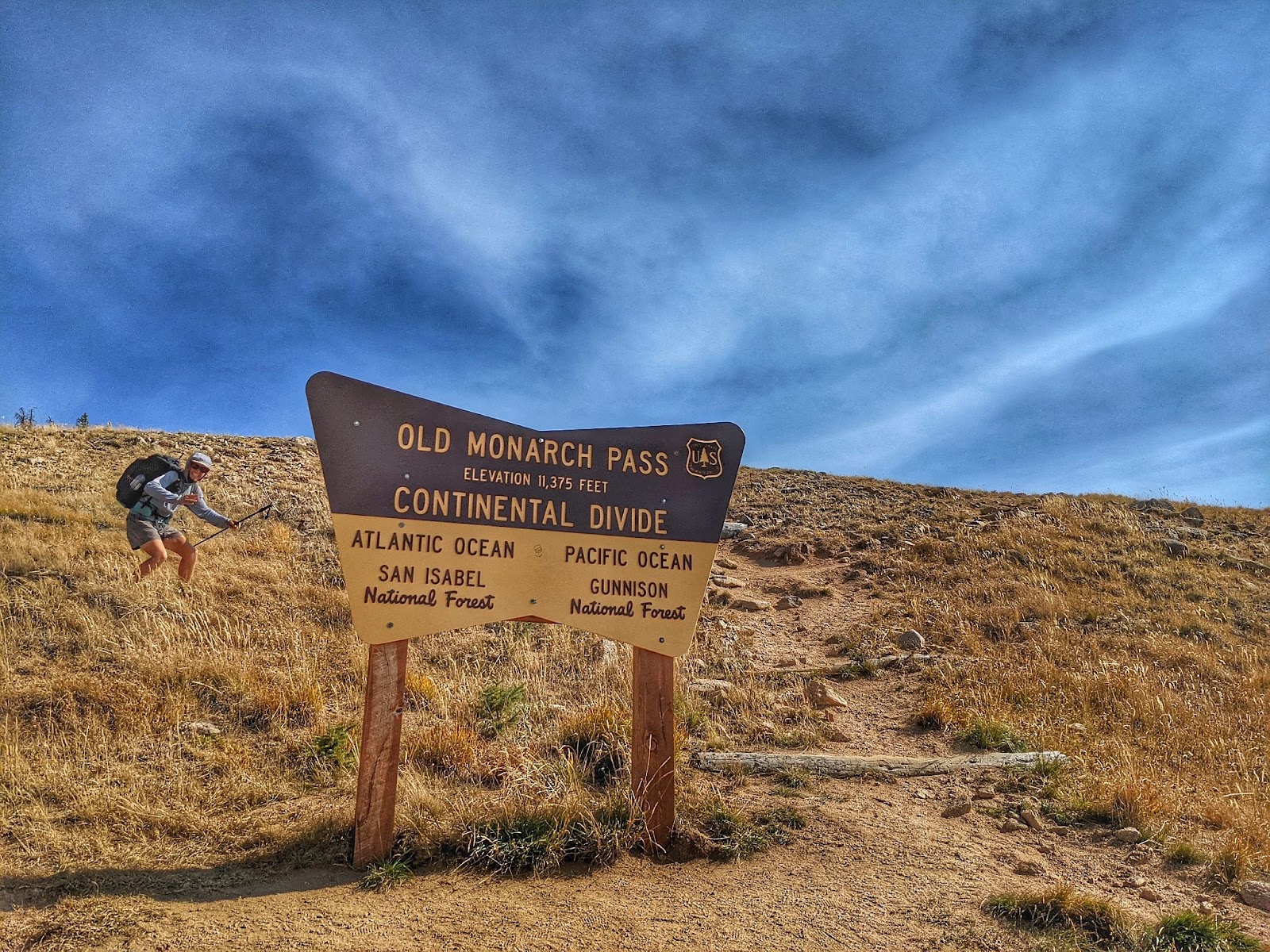
We make it to Monarch pass, where we take a quick detour to Gunnison, Colorado, where a friend lives. We stay in Gunnison for two nights and get back to the trail feeling rejuvenated. Our packs are full of food, and the end of Colorado is in sight.
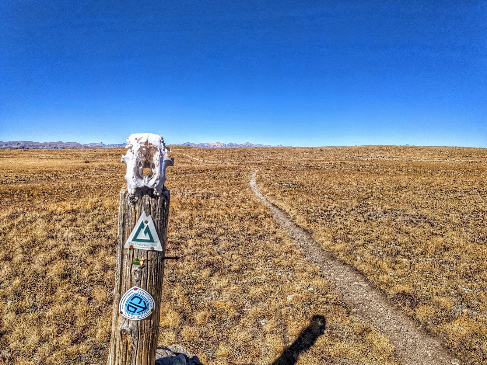
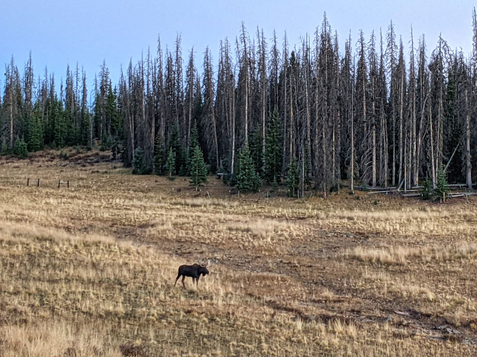
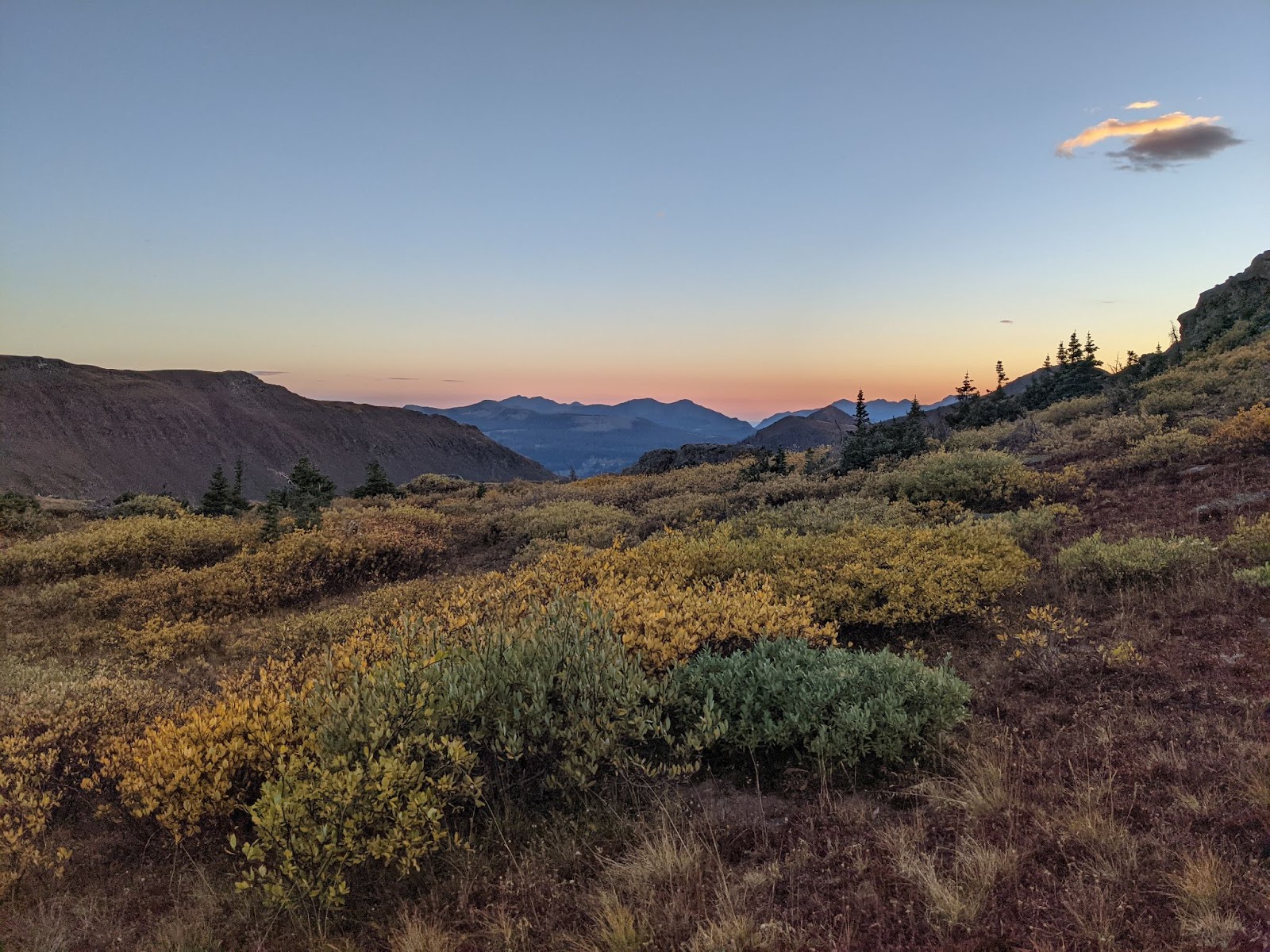
After Monarch Pass, the trail drops to the lower and drier Cochetopa Hills. These hills are a lower elevation section along the continental divide that connect the Sawatch Range and the La Garita Mountains. Since there are no high points to avoid the cold that settles into low points, we expect a cold night of camping. After an hour of hiking, looking for a good camp spot, we settle on a cluster of trees atop lumpy ground, surrounded by cow poop.
The morning was the coldest part, though. I got up, made hot coffee, and put it in my mini Nalgene bottle. The coffee was as cold as many hands very soon.
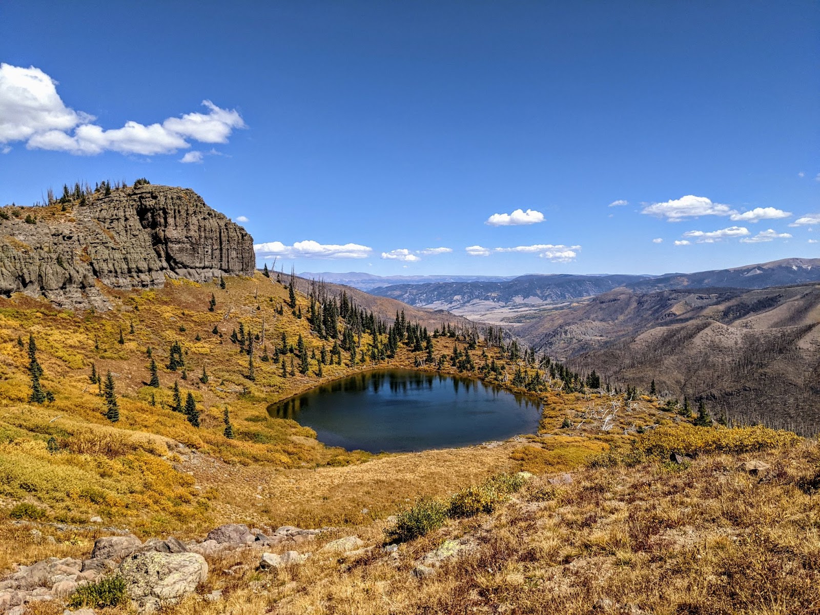
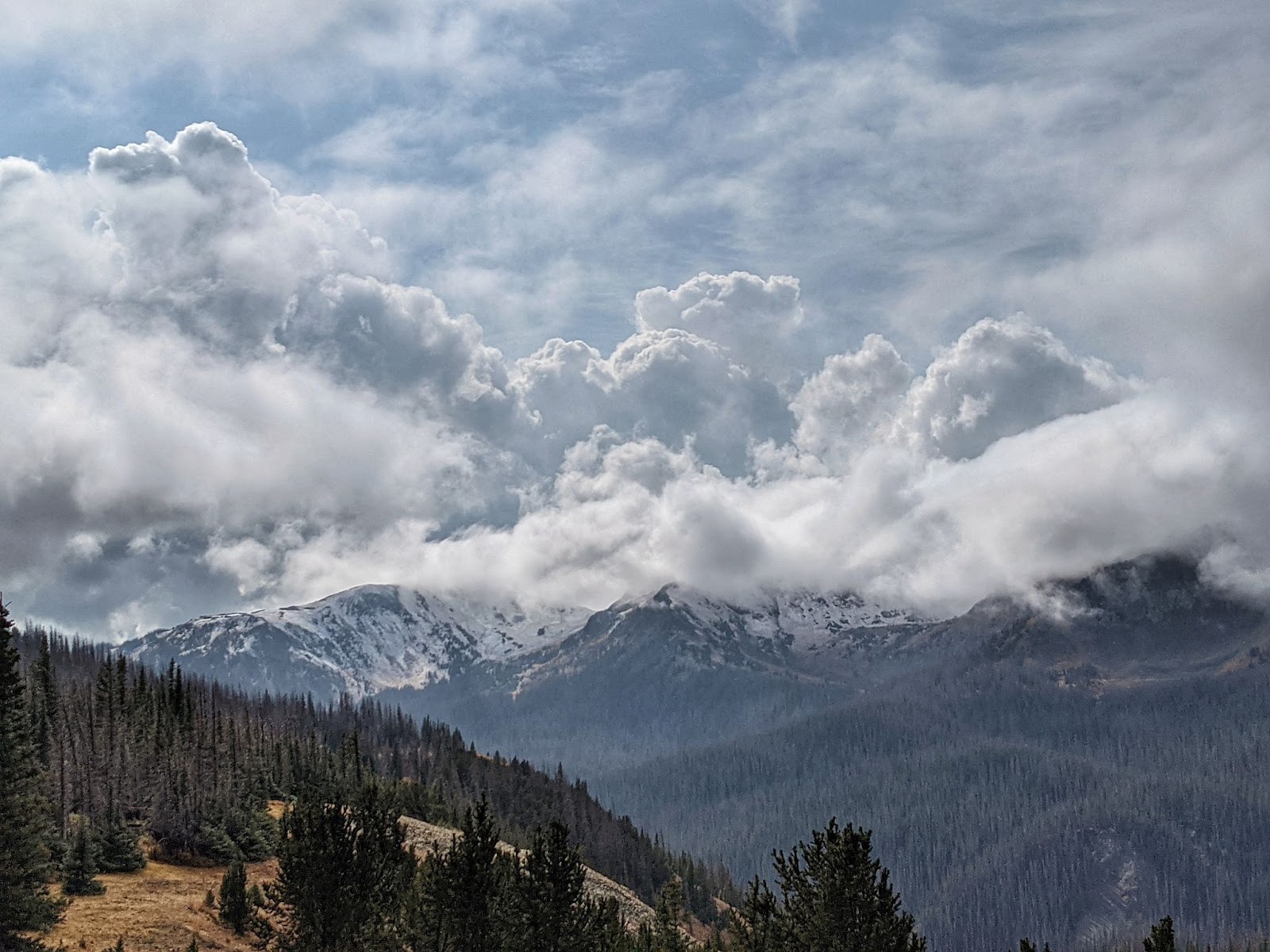
For the past week I’ve been weighing the pros and cons of taking an alternate route, the Creede Cutoff. This route would avoid some of the highest elevation sections of the CDT through the San Juan mountain range. For me, this means avoiding the chance of early snow in the most likely place for that to happen. It’s late September, and a snowstorm at this time of year is definitely possible.
But now I can see the forecast for the next seven days, and it looks clear. I get the turnoff for the Creede Cutoff and keep going on the way I know, through the San Juans.
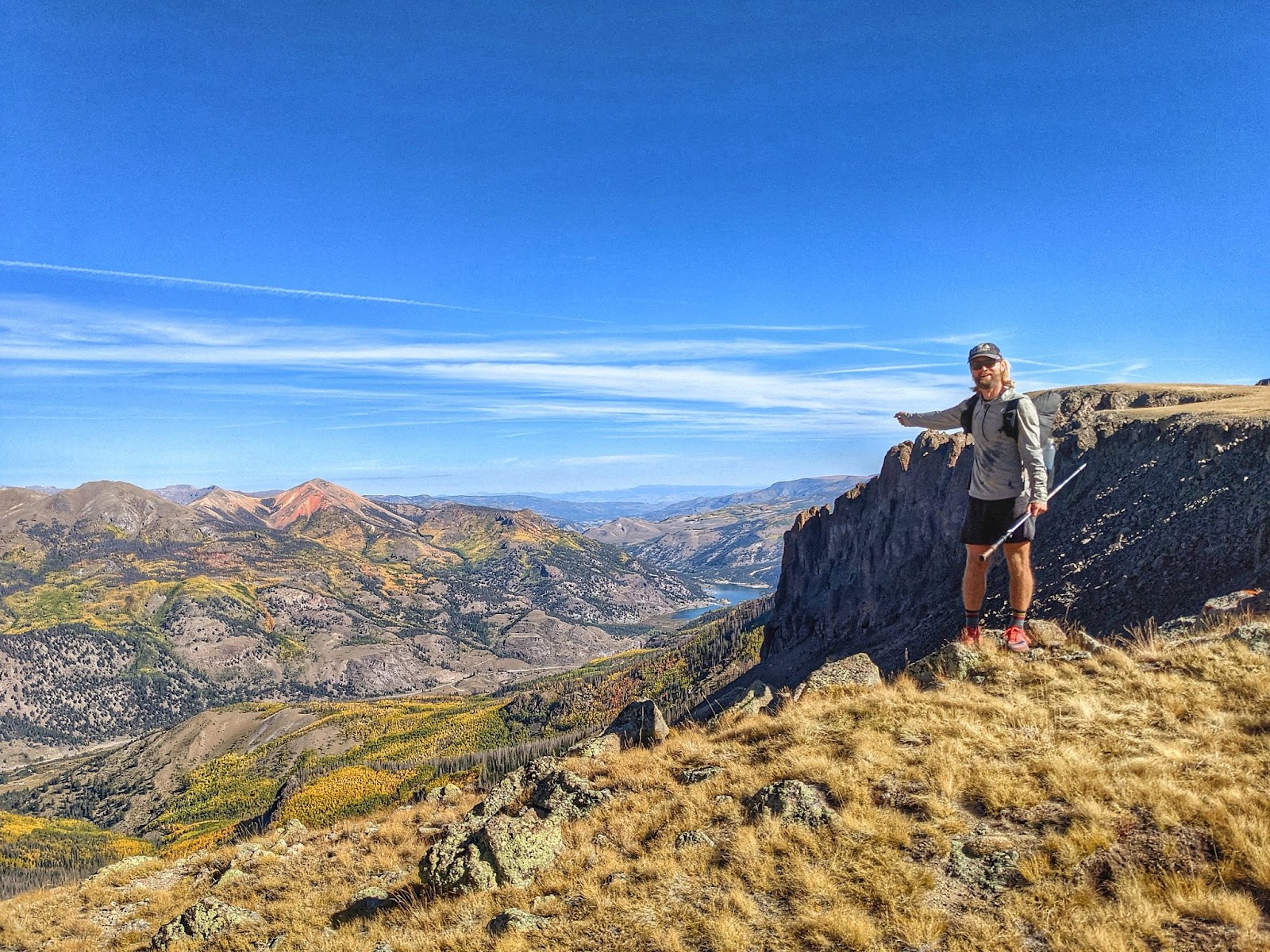
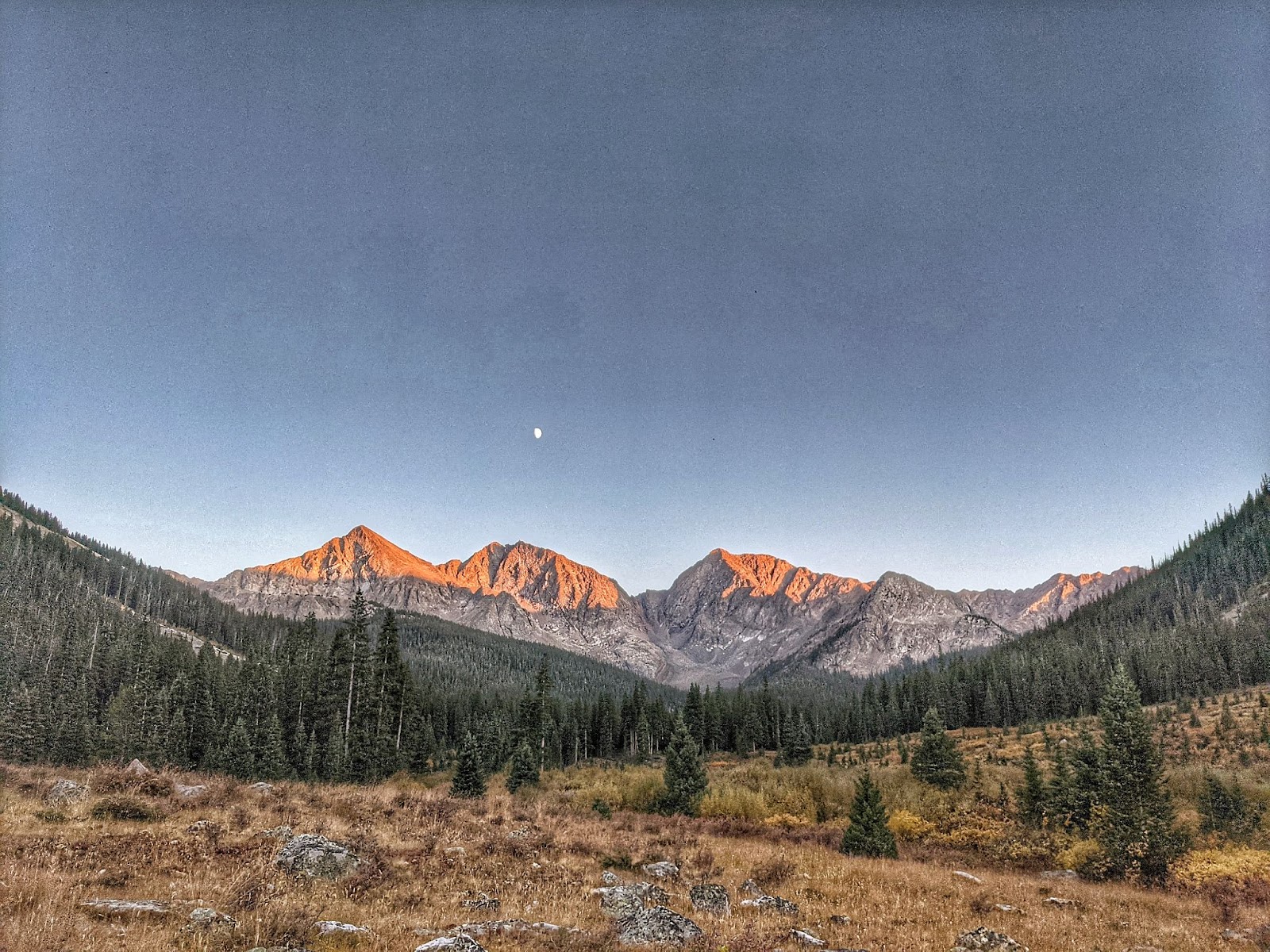
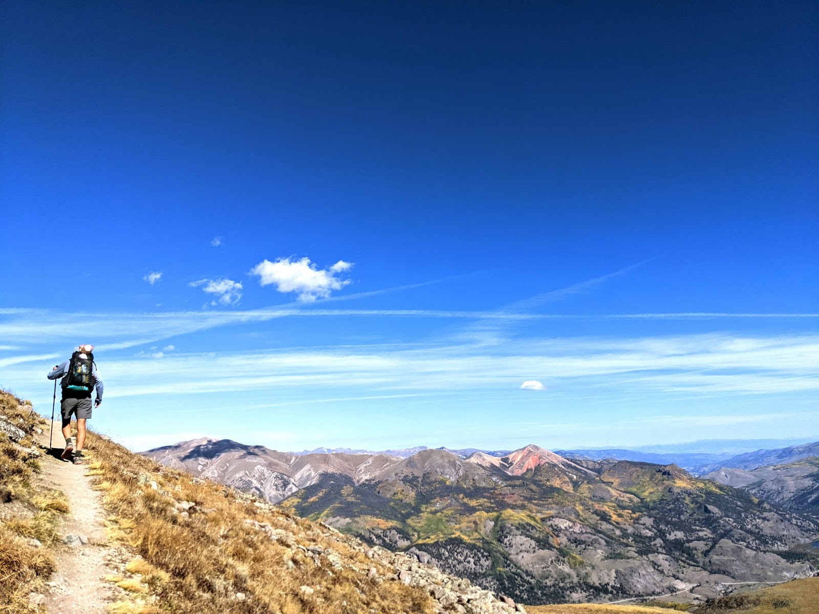
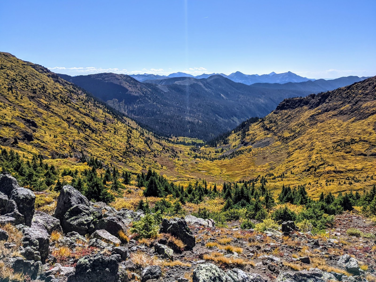
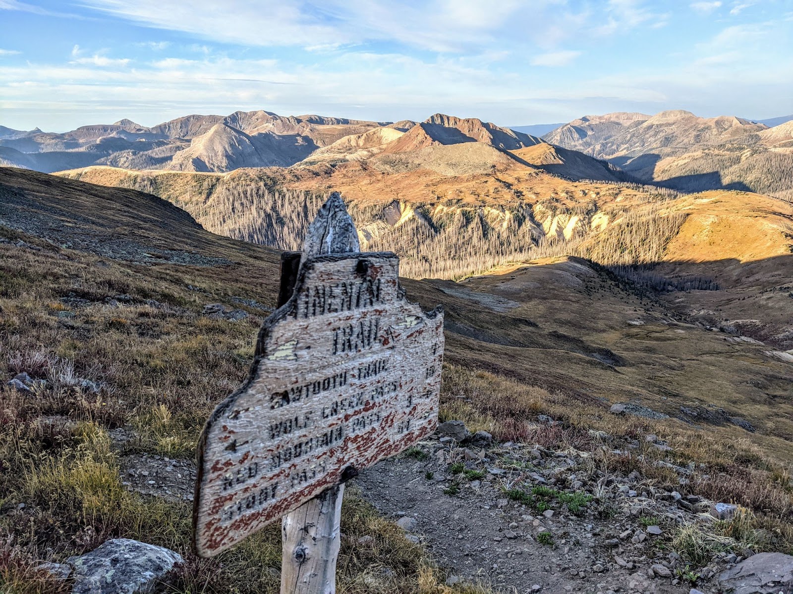
I see my favorite mountain, Red Cloud Peak. I see all the best parts of the Colorado Trail.
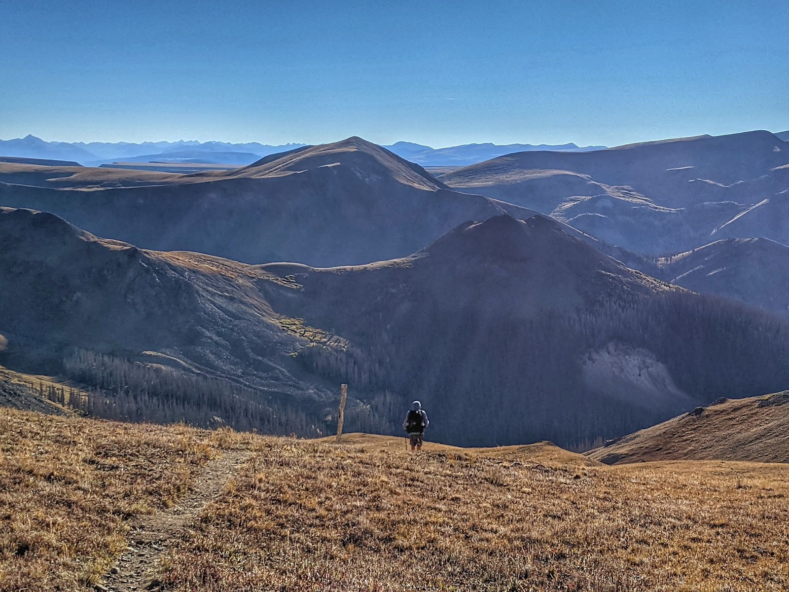
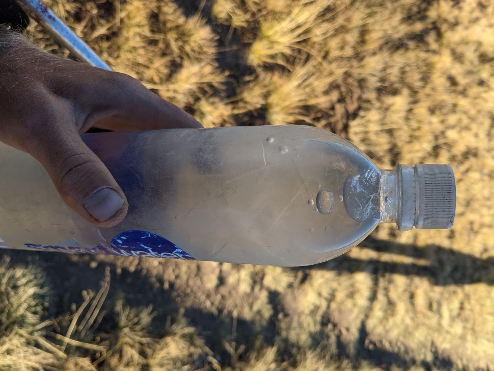
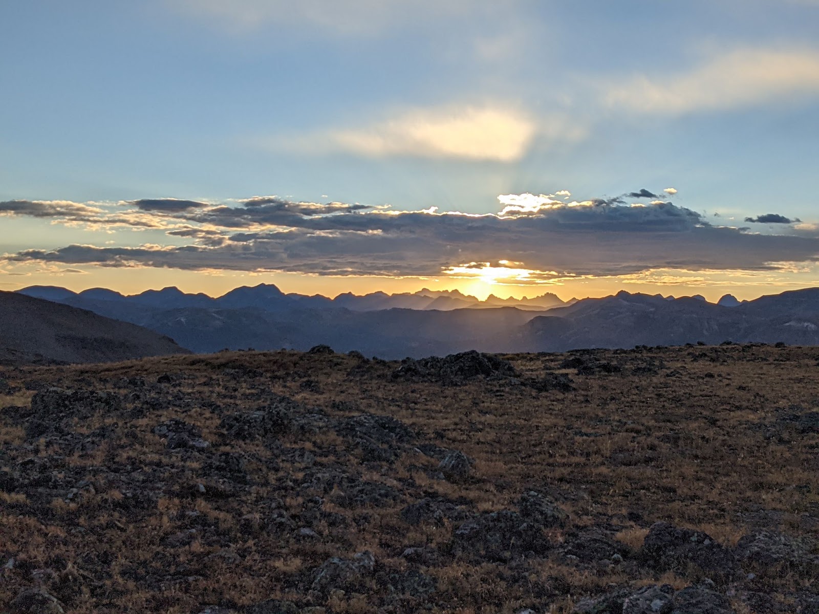
We also have some more extremely cold nights camping. One night, we camped on a high mesa, above 12,000 feet. We should have stopped before we climbed onto the mesa, but I kept walking, thinking there would be a better place to camp just ahead. Eventually, it was pitch dark and there weren’t any better place just ahead. All my water was frozen solid in the morning.
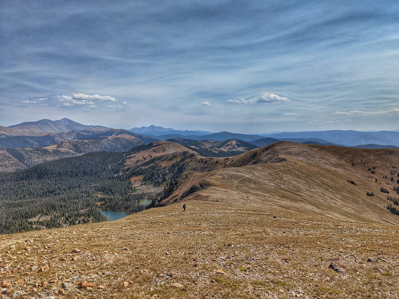
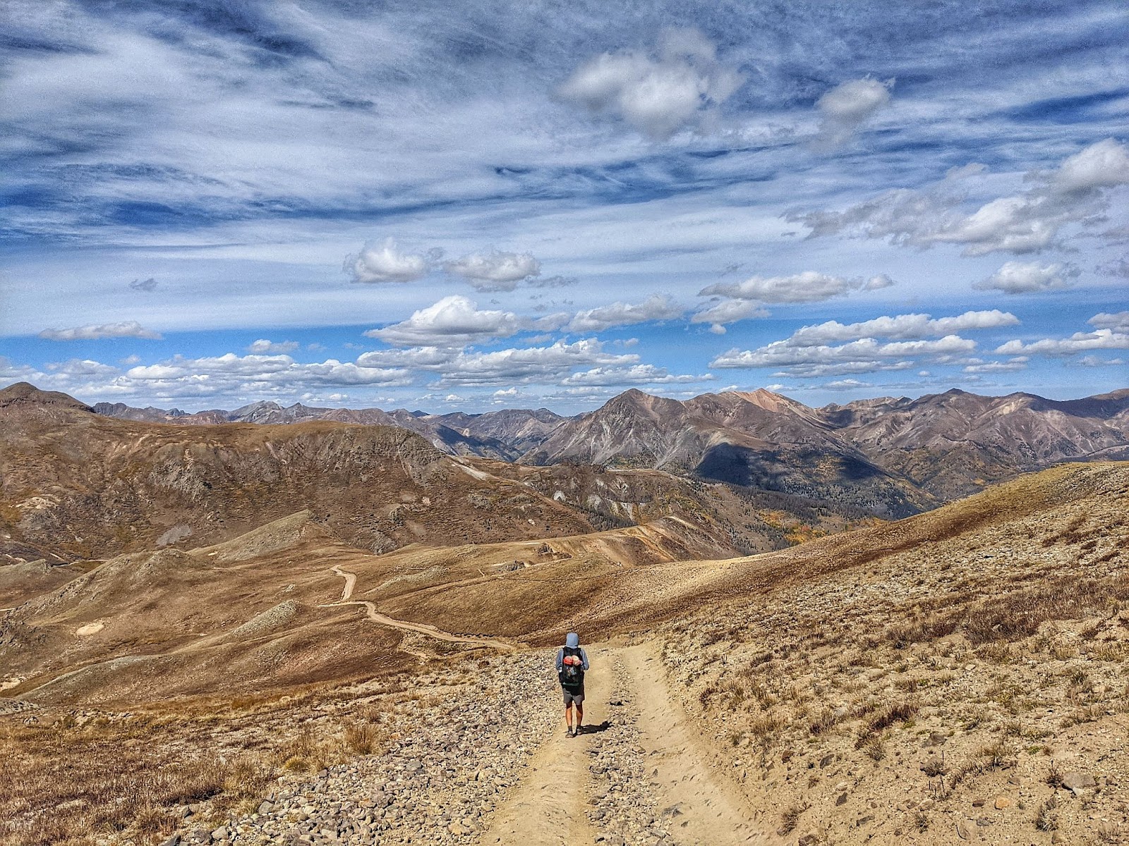
But then we make it to the Colorado Trail highpoint, and it’s all downhill to Mexico. Well, not really.
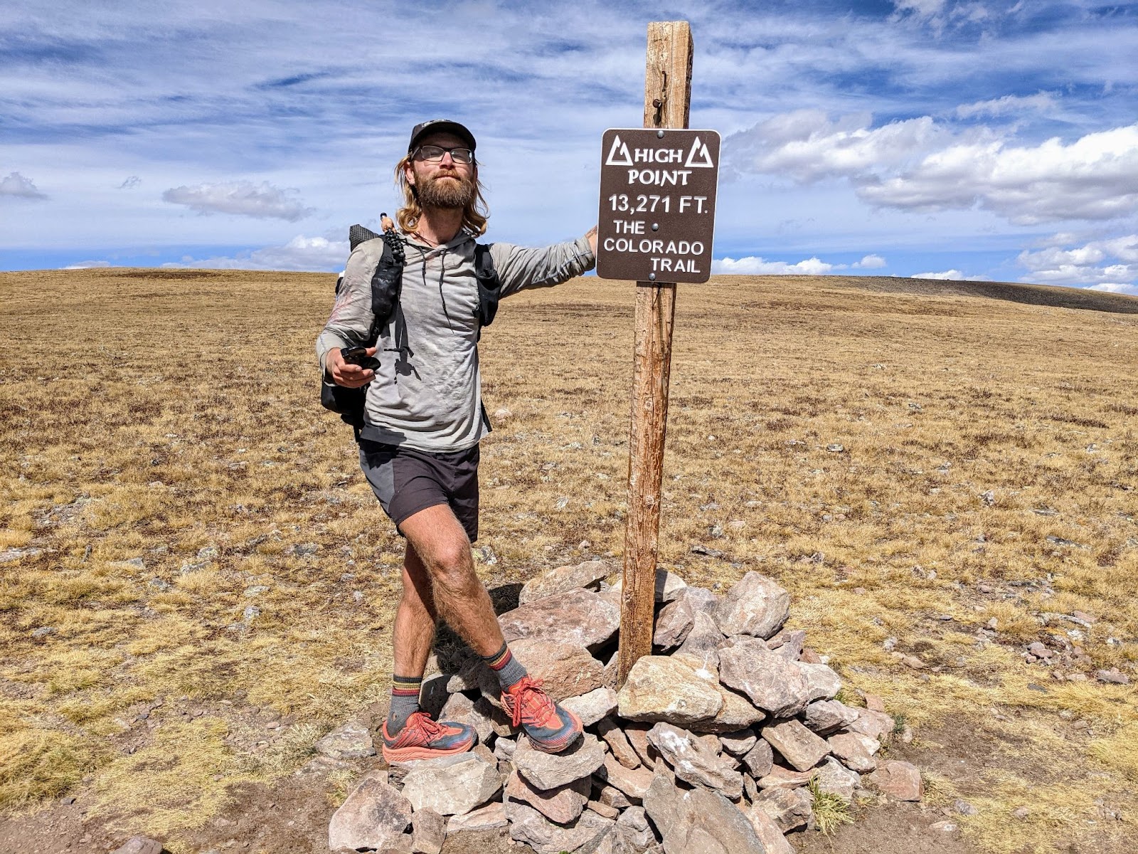
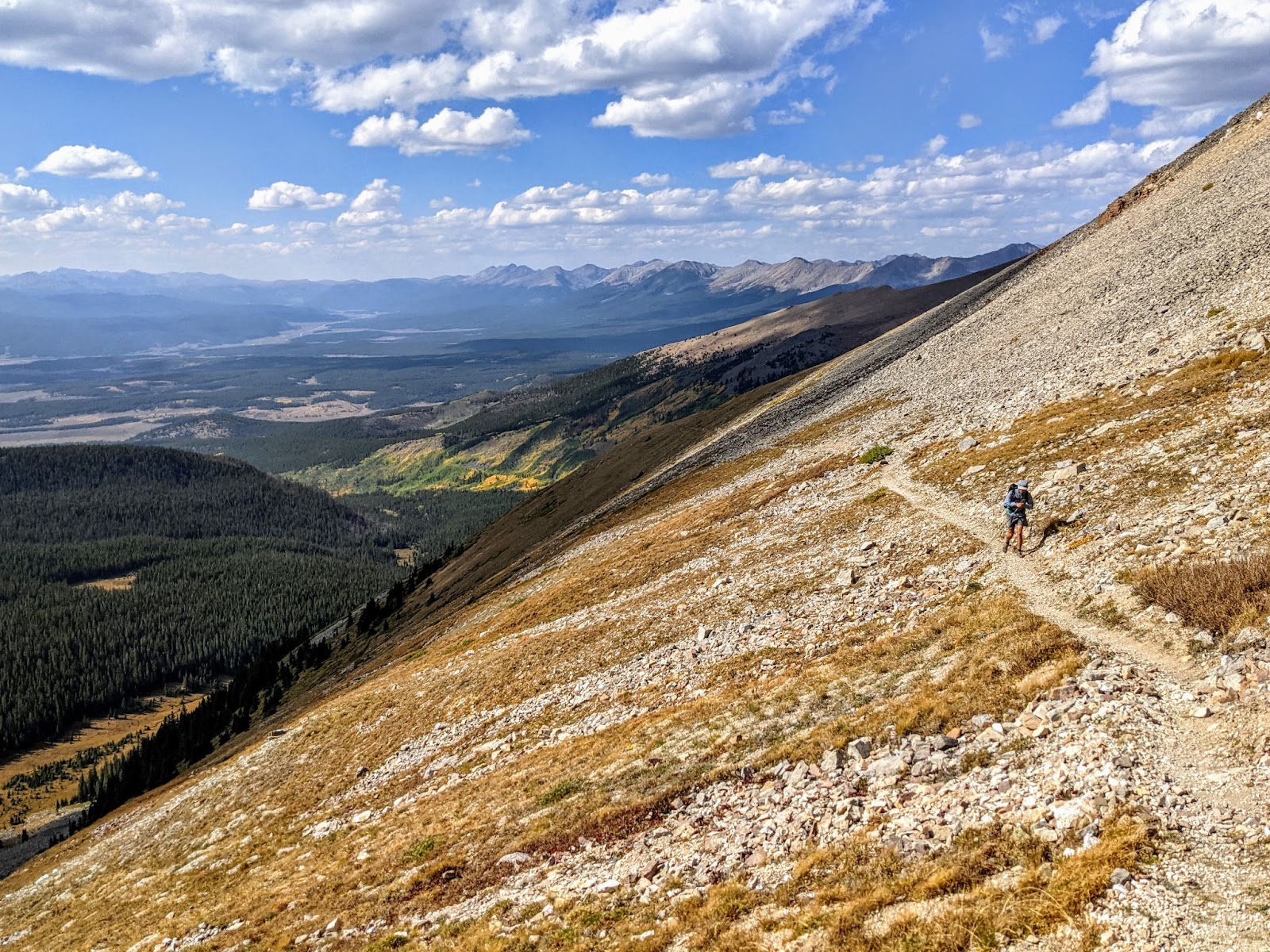
There are plenty of hills to climb, but we won’t be at a higher elevation than this. And the downhill from here is spectacular.
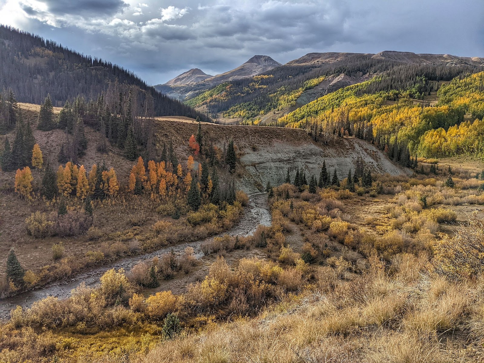
And then the storms arrive. I knew they’d come, even though the forecast was clear. I’m sitting at a junction to another trail I’ve seen but never explored. Ahead is a part of the Colorado Traill that I’ve hiked twice and biked once. This section has never been dry when I crossed the 11,000+ foot plateau up ahead. Now, I can see the dark clouds.
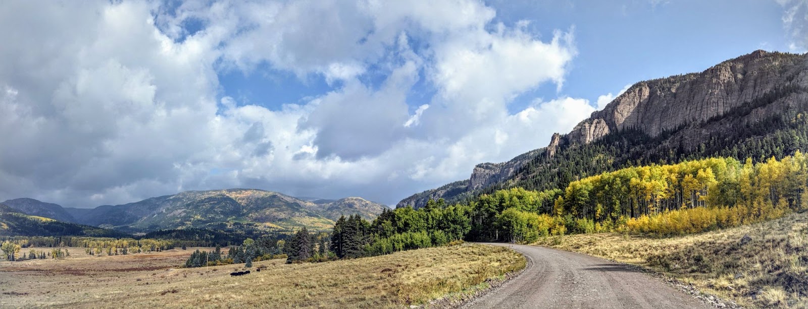
I sit down and pull out my digital maps. This trail leads down, I can see it because I’m looking at it. But beyond what I can see with my eyes, the topographic lines on the map tell me the trails leads down further, into a valley. It intersects with a dirt road that leads back to the CDT just after it splits away from the Colorado Trail. I’m taking this alternate, and I wait for William to catch up so I can tell him. When he arrives, he tells me he knew I’d want to do that, those clouds look gnarly. He wants to take that low alternate as well, so down we go.
We walk adjacent to the storm all afternoon and into the evening. It never rains in this valley, we just watch the dark clouds circle on the high peaks around us. The trail was smooth and well-maintained. When we get to the dirt road, we’re met with easy walking all evening. There was plenty of water from a creek, and we had the road to ourselves.
I camp just below where the dirt road intersects with the CDT. It’s dark and I’ve lost William, but I’ve almost made it to Pagosa Springs. From there it’s only another 80 miles to New Mexico. I’m going to make it before September ends.
I briefly catch up to Nav in Pagosa Springs, but he leaves the following morning. I have to put a box together for the remote stretch of New Mexico through Pie Town. Wow, I’m really almost there! I’ll catch up to Nav again eventually, but today’s only a preview of that.
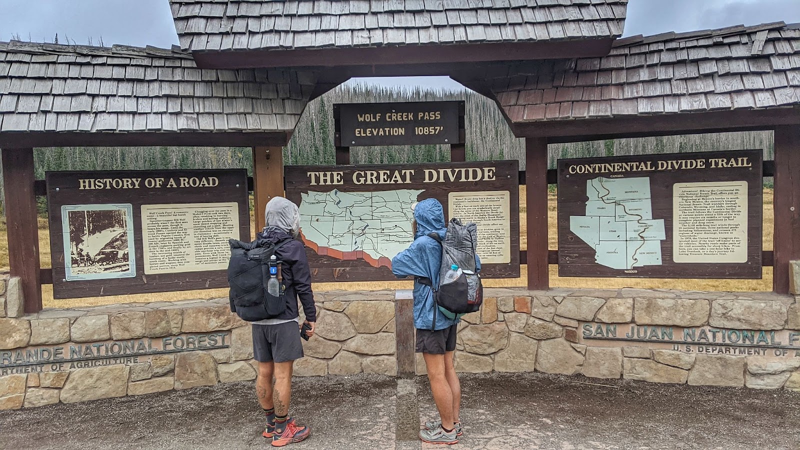
William, Scoops, and I leave the last Colorado town and hitchhike back to Wolf Creek Pass. It’s also always stormy here. Wolf Creek is consistently the part of Colorado that gets the most snow. And on September 29, 2021 it snows all night long. Good thing there was this ski patrol cabin for us to sleep in, quietly and respectfully.
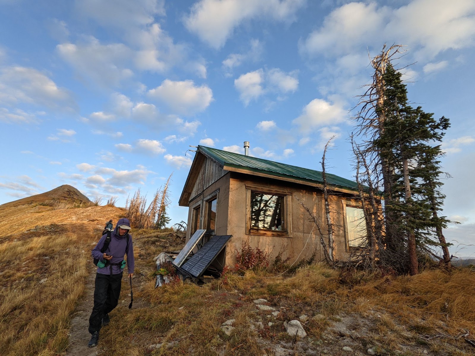
All night the snow fell, but it didn’t accumulate much. The next morning I’m walking in an inch of fresh, melting snow. But, we stayed warm and dry inside this tiny hut. There are more storms in the forecast for today, but we’re prepared with information on another low route that will lead us into New Mexico.
I get to the junction for our next low route, look up, see dark clouds, and know that this will be the way we take into New Mexico. In my head, New Mexico is nothing but sunshine and cactus immediately after crossing the border. All snow from the mountains in Colorado evaporates when it attempts to cross into New Mexico.
This isn’t true, but the low route takes us along another beautiful dirt road surrounded with yellow aspens. There is a small town, more of a tourist destination for anglers, but we stop there on the last day they’re open for the season. We eat chicken fried steak, which I’ve never had, and mashed potatoes.
Then we walk out into the evening. The storms have finally caught up with us. It’s raining, and it’s cold. A truck stops and gives William a pair of thick waterproof gloves. We walk into the evening through the rain.
The rain clears, and we sleep in a campground just north of the New Mexico border. The campground is closed for the season, but we’re on foot and don’t need anything but a flat spot to make camp.
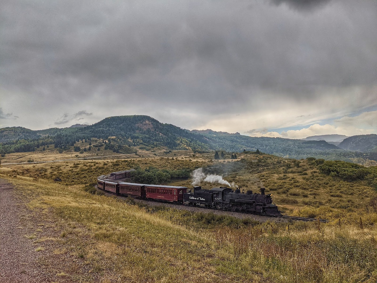
In the morning, we walk a few miles down the dirt road, then hitch hike into Chama, New Mexico. We’re technically 2 miles from where the CDT crosses into New Mexico, but we resupply in New Mexico from Cumbres Pass. The ride into Chama is cold and rainy, but we’re dry in the back of a pickup with a camper shell.
Well, that was fast. See you soon, New Mexico.